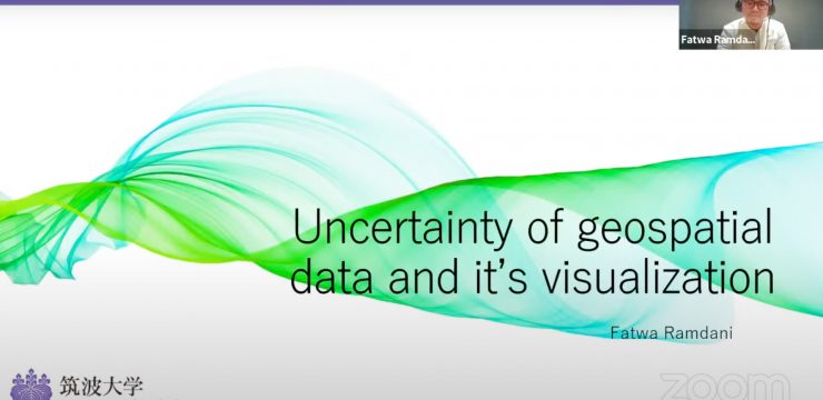
Today, Friday (April 22, 2022), the Faculty of Mathematics and Natural Sciences (FMIPA UI) once again held a MIPAtalk Series webinar. The webinar, titled "Uncertainty of Geospatial Data and Its Visualization," was the third in the MIPAtalk series.
This third MIPAtalk series featured Dr. Fatwa Ramdani, S.Si., M.Sc., a member of the Graduate School of Humanities and Social Studies, University of Tsukuba, Japan, as a resource person, and Iqbal Putut Ash Shidiq, M.Sc., Head of the Undergraduate Geography Study Program, FMIPA UI, as moderator. This third MIPAtalk series was still held via Zoom Meeting and broadcast live on the official FMIPA UI YouTube channel.
The Vice Dean for Resources, Ventures, and General Administration of FMIPA UI, Dr. Tito Latif Indra, M.Sc., opened the event. In his remarks, Dr. Tito stated, "The MIPAtalk Series activity represents FMIPA UI's commitment to improving scientific knowledge across various disciplines, particularly sciences such as geography, geosciences, mathematics, physics, chemistry, and biology."
"This activity, God willing, will be held every two weeks, featuring the latest topics from various science disciplines. Through this activity, we sincerely hope to provide more up-to-date scientific knowledge, not only to lecturers but also to students," Dr. Tito continued in his remarks. He also hoped that this activity would provide opportunities for broader collaboration among participants.
The main session, led by Dr. Fatwa Ramdani, S.Si., M.Sc., served as the keynote speaker. In his presentation, Dr. Fatwa, a lecturer and researcher at the Graduate School of Humanities and Social Studies, University of Tsukuba, Japan, explained that of the vast amount of data widely distributed on the internet, more than 80 percent is related to location.
He explained through graphic examples that much of the graphic information consumed by the public cannot be validated. He further explained that data goes through a journey from raw data, sorting, organizing, visualizing, explaining through storytelling, until it becomes acceptable data.
The level of data uncertainty, from low to high, accompanies the data's journey. The public must be critical of the data and information presented in the public sphere.
“Uncertainty is a state of uncertainty, doubt, confusion, and unpredictability. Geospatial "Describes the relative position of something on the Earth's surface. Data is the plural form of datum, often used in statistical, mathematical, and geographical studies. Visualization is an attempt to describe a technique involving various approaches to then visualize something to achieve a specific goal," explained Dr. Fatwa, dissecting the meaning of the material's title word by word.
The expert in Geoinformatics (GIS), Machine Learning, and Applied Data Science also emphasized that careful data source selection is crucial to reduce uncertainty.
"Never fully trust data with unclear metadata. Never use geospatial data from sources that lack a reputation for good and clear geospatial data. Never use data without quality control information. Finally, conduct comparisons, comparing your existing data with data from other sources," he said.
There are four strategies for reducing geospatial data uncertainty. First, determine the need. Second, select and sort the best quality data. Third, minimize the impact. Finally, decide whether to accept or reject the uncertainty. If you reject the uncertainty, return to point number two.
“Geospatial data can contribute to the decision-making process. But then there's something called... uncertainty, which is a logical consequence of the complexity of real-world phenomena. We will never be able to reconstruct real-world reality in the digital world with 100 percent accuracy. Uncertainty its representation cannot be separated from cultural, political, social, linguistic values, it plays an important role. Uncertainty "We can't avoid it. However, we can minimize it," said the UI Faculty of Mathematics and Natural Sciences (FMIPA) Geography graduate in conclusion.
News source : https://sci.ui.ac.id/