|

The Department of Biology
Faculty of Mathematics and Natural Sciences Universitas Indonesia
Depok, June 25, 2025 — Indonesia, as home to an extraordinary share of the world’s biodiversity, faces significant challenges due to land-use change and forest fires. However, Prof. Dr. Rokhmatuloh, S.Si., M.Eng., remains optimistic about the positive trends in forest recovery, thanks to policies such as social forestry and related programs. Deforestation and forest Degradation (REDD+), yang menunjukkan komitmen pemerintah dan masyarakat.
He emphasized the importance of Indonesia’s forests as multifunctional ecosystems—not only as climate regulators and biodiversity hotspots but also as abundant economic resources. The potential of both timber and non-timber forest products is immense, ranging from leading export commodities to high-value goods for indigenous communities. However, this potential can only be optimally harnessed if forests are managed sustainably. This is where the vital role of remote sensing comes in, as it supports evidence-based forest management.evidence-based forest management).
In the era of industry 4.0, the integration of remote sensing with artificial intelligence (AI), machine learning (Machine Learning – ML), dan cloud computing becomes key. These advances enable fast, automated and accurate data analysis, and facilitate the use of drones for flexible and cost-effective high-resolution imagery acquisition. Overall, remote sensing has become an essential foundation for modern forestry management, supporting data-driven policy-making and increasing transparency in natural resource management.
In addition, the use of big data and AI has revolutionized remote sensing data analysis in the field of forestry. The large and complex volumes of data from optical satellites, radar, drones, and LiDAR can be efficiently processed using advanced computing systems. AI’s advantage in automated analysis enhances the accuracy of forest mapping and monitoring in real time. cloud computing Platforms such as Google Earth Engine (GEE), which provide access to thousands of petabytes of satellite data, enable efficient cross-temporal and regional analysis, supporting both the scientific community and policymakers.
Furthermore, the combination of big data and machine learning not only accelerates data processing but also enables predictive modeling. This greatly supports projection-based forestry planning, such as estimating carbon stocks, tree growth, and wildlife habitats. The application of these technologies Deep Learning Deep learning (DL) in the processing of remote sensing data in the field of forestry, especially through algorithms such as Convolutional Neural Network Convolutional Neural Networks (CNNs) are capable of performing land cover classification, forest change detection, and vegetation species mapping with high accuracy.
Prof. Rokhmatuloh also highlighted the further applications of deep learning (DL), including automatic deforestation detection using data time-series and the use of U-Net to map forest boundaries and identify post-fire vegetation regeneration. Platforms like GEE further facilitate the integration of remote sensing big data with deep learning models, enabling large-scale analysis to support conservation and sustainable forest management in Indonesia.
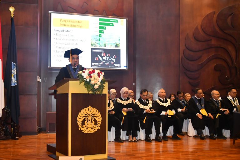
In his inaugural speech at the Convention Hall, UI Depok Campus, on Wednesday (25/6), Prof. Rokhmatuloh emphasized that the benefits of remote sensing in Indonesian forestry are not only as a monitoring and reporting tool, but also an important instrument in law enforcement, forestry planning, and climate change mitigation. The use of big data and DL has opened up a new paradigm in sustainable forest management, providing a fast, adaptive, and high-precision analytical system. This supports policy making that real-time and predictive, which are very important for sustainable forest management efforts in Indonesia. Before being inaugurated as the 33rd UI Professor inaugurated in 2025, Prof. Rokhmatuloh had completed his undergraduate education at the Department of Geography, Faculty of Mathematics and Natural Sciences (FMIPA) UI in 1996. Then, in 2004 and 2007 he successfully completed his Masters and Doctoral education at Chiba University, Japan. The inauguration ceremony was also attended by the Head of the Geospatial Information Agency Prof. Dr. rer.nat. Muh Aris Marfai, S.Si., M.Sc .; Vice Dean for Education, Teaching, and Student Affairs, Faculty of Geography, UGM Dr. Sigit Heru Murti B.S. S.Si. M.Sc .; Director of Human Resources of the Geospatial Information Agency Dr. rer. nat Sumaryono, M.Sc .; President Director of Golden Energy Mines (Sinarmas Group) Dr. Ir. Hartana, S. H, M. H, M. M.; and Permanent Lecturer of UNHAN, Obstetrician and Gynecologist Specialist Doctor of Gatot Soebroto Army Hospital, Major General TNI Dr. dr. Sutan Finekri Arifin A, Sp.OG., Subsp.K.FM., M.A.R.S., M.H.