|

|
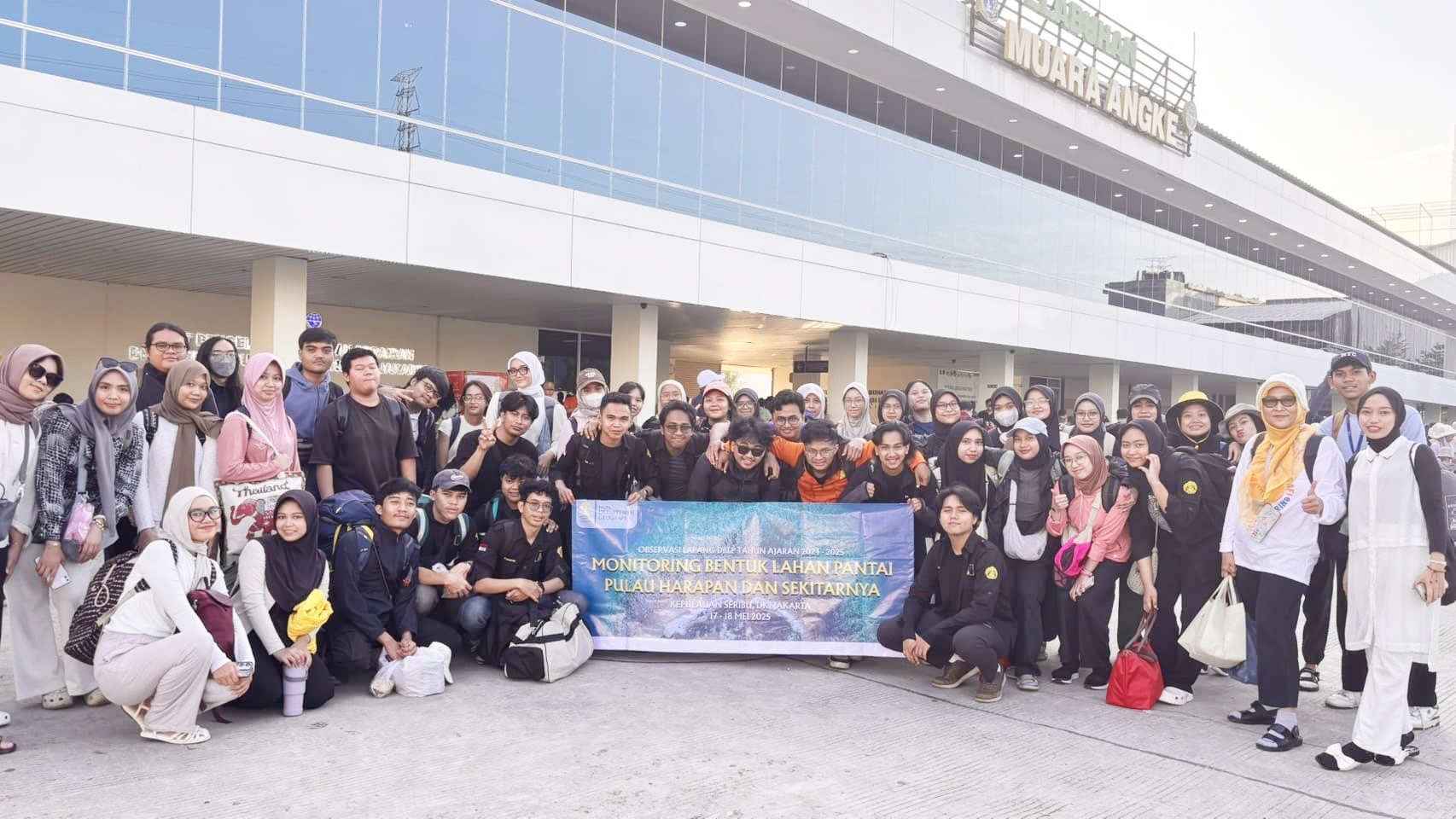
The Department of Geography, Faculty of Mathematics and Natural Sciences, University of Indonesia (FMIPA UI) carried out a community service activity entitled "Monitoring the Dynamics of Coastal Landforms on Harapan Island and its Surroundings". This activity took place on May 17-18, 2025 and was located on Harapan Island, Seribu Islands.
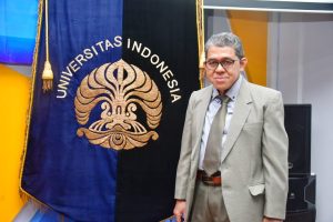
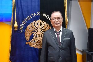
Led by Dra. Astrid Damayanti, M.Sc., and accompanied by Dr. Ir. Idwan Suhardi, Ph.D., this activity involved lecturers and students in monitoring changes in coastal landforms in the coastal area of Harapan Island and its surroundings. The main objective of this program is to provide scientific contributions to the community and improve students' understanding of the dynamics of the coastal environment.
"We want students to understand that coastal areas are not just tourist attractions, but also complex and dynamic living spaces that require science-based management. The hope is that they will not only become reliable spatial analysts, but also be sensitive to social and environmental challenges in coastal areas," said Dra. Astrid Damayanti, M.Sc., as the head of the activity.
Dr. Idwan Suhardi, Ph.D., as a lecturer in the Coastal Landform Dynamics course, added the importance of student involvement in real data-based actions. "This is not just a field practice, but also an effort to build a bridge between the academic world and the needs of coastal communities," he said.
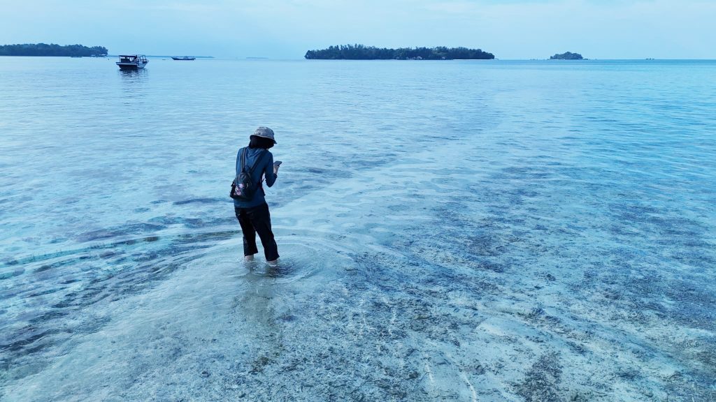
During the two-day activity, students conducted direct observations on five islands, namely Harapan Island, Kelapa Island, Bira Besar Island, Bulat Island, and Dolphin Island. These islands were chosen because they represent the diversity of coastal landforms and the activities of space utilization by the community. Observations were conducted through coastline mapping, identification of substrate types, and documentation of the physical conditions of the island.
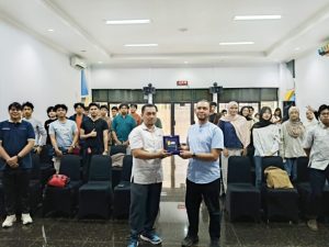
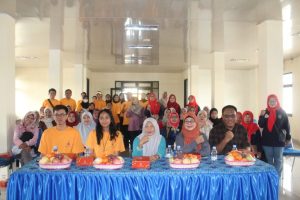
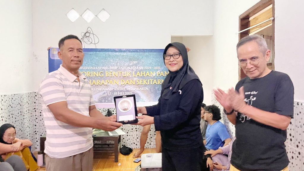
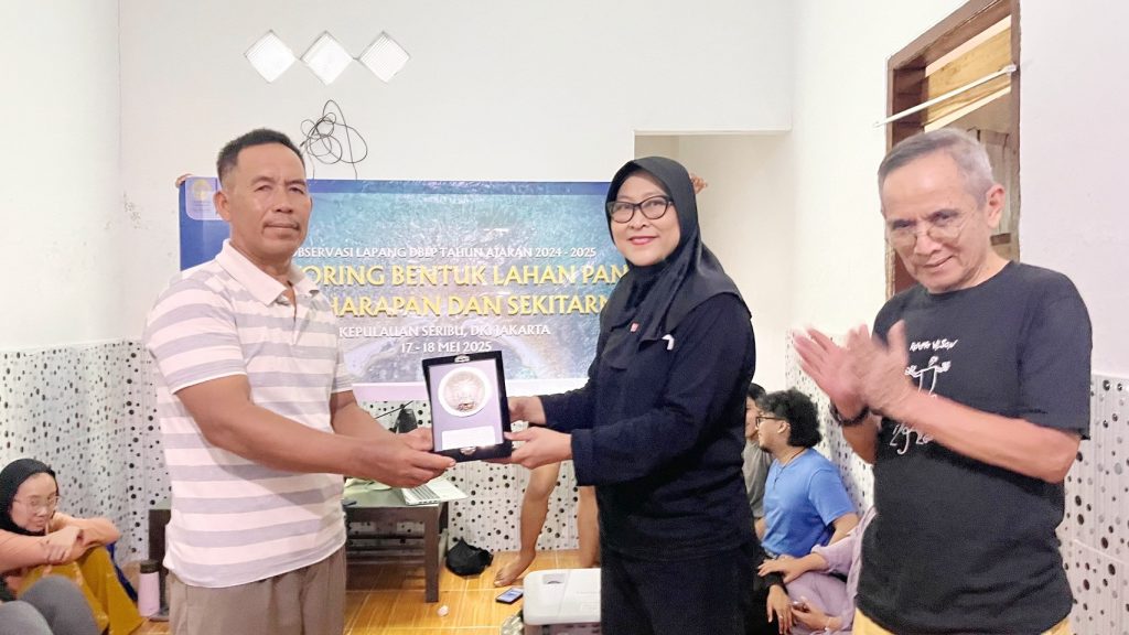
One of the important moments in this activity was the session to present the results of the monitoring carried out on Kelapa Island. Students conveyed their findings to the local community, including the Head of RW 02 Kelapa Island, Mr. Mustar, who was present representing the Head of Kelapa Island. "The presence of UI students and lecturers opens up a space for dialogue between academics and residents. We hope that the results of this activity can support better coastal environmental management," he said.
This activity also provides initial data that can be used by the Seribu Islands Administrative District Government in coastal area planning, including conservation, disaster mitigation, and sustainable development. The active involvement of UI academics is a real manifestation of the implementation of the Tridharma of Higher Education, namely education, research, and community service.
Annisa Dewi Al Eddy, one of the student participants in the activity, shared her experience, "Through this activity I learned that coastal landforms are not only spatial phenomena, but are also greatly influenced by the time and social context of the local community."
This activity is a manifestation of UI's active contribution to environmental issues and sustainable development, especially in coastal areas and small islands in Indonesia.